
What Is Geospatial Engineering? The Basics, Explained
Date Posted: Wed Oct 2026
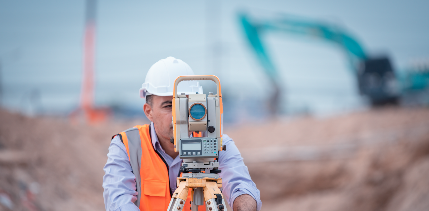
If you’ve been following our socials this week, you’ll have already been introduced to Luke, our Principal Consultant specialising in permanent recruitment across Surveying, Geospatial, Civil Engineering and Infrastructure.
Luke started recruiting into geospatial back in 2021 and has since built up a client base across the country, delivering 20+ permanent placements in 2026 alone. Alongside geospatial, he also covers senior leadership roles within Civil Engineering teams across highways, utilities and infrastructure.
We sat down with Luke to get a proper breakdown of what geospatial engineering actually involves, and what it means for the projects and businesses that rely on it.
So, what actually is geospatial engineering?
“Geospatial is the umbrella term that surveying sits under”, Luke told us. “It covers everything from topographical/ utility surveying through to GPS-based mapping, GIS, remote sensing and other location-based data.”
Put simply, geospatial engineering is about capturing and interpreting accurate information about the world around us. It combines technologies such as GPS/GNSS, drones, satellite imagery and laser scanning to create precise spatial data, models and measurements that support everything from understanding the physical landscape to identifying and mapping utility infrastructure.
In practice, it covers:
- Surveying land, buildings and existing structures.
- Creating accurate maps, drawings and 3D models of a site
- Determining the position and extent of underground utilities, buildings and other infrastructure
- Providing reliable spatial information that feeds into construction, planning and engineering projects, so project teams are working from the same accurate picture
Luke primarily focuses on two areas within geospatial: topographical surveying and subsurface utility surveying. They’re related, but they call for different skill sets.
Topographical surveying: what’s above ground
This is natural and man-made features above ground level, measured using a total station and GPS. Hills, trees, kerbs, roundabouts, basically the shape of a site, often down to millimetre accuracy.
That data then goes into AutoCAD or other related data processing software, where it becomes the drawings contractors work from. It’s essentially establishing where the ground is right now, comparing that to where the client wants it to end up, and working out how to get there safely.
Subsurface surveying: what’s underground
Same idea, but below ground. Surveyors are looking for water mains, gas mains, fibre cables, anything buried that could cause a problem or fatality if struck by machinery or a shovel. Therefore, anything that could breach health and Safety or cause delays to the project.
This is where PAS 128 comes in, the UK specification for underground utility detection, verification and location. It provides a framework for different approaches to understanding what lies beneath the ground, from Type D desktop records searches through to Type C site reconnaissance, Type B geophysical detection and Type A physical verification. The higher the level of investigation, the greater the opportunity to confirm the location and characteristics of buried utilities. Which approach is appropriate depends on the project, its requirements and the level of certainty needed before work takes place.
Why it matters before anyone breaks ground
Surveying is crucial to any project before it kicks off. Teams need to be confident that all surveying data is correct, both to make sure the plan is achievable and, just as importantly, to make sure it’s safe to execute. It’s about understanding what’s actually possible, and what can be done safely.
In fact, no project can start until these checks have been signed off. As Luke points out, this is also an area where human expertise remains essential. AI and other technologies can assist with processing and analysing survey data, but understanding site conditions, choosing the right survey methodology, verifying information and applying professional judgement still require experienced people on the ground.
Toward the final stages, surveying feeds into something called setting out, where precise positions, levels and alignments are transferred from the design onto the site, creating a guide for contractors to build against.
Getting into the geospatial sector
One thing Luke was keen to stress is that you don’t need to be university qualified to work in geospatial, much like many roles across construction. What matters most is meticulous attention to detail. Most people learn on the job, and from there can specialise into different niches as they progress to more senior grades.
Topographical is a slightly different route in, you’ll usually need some site engineering experience first, so you understand what the role actually involves before specialising into it. QCF ProQual is one of the accrediting bodies for certification in surveying, worth a look if you’re considering it.
If geospatial sounds like your kind of work, Luke’s always happy to talk through what’s out there.
Written By:

Trudy Turtle
Friendly and professional, Trudy leads LEGGWORK’s marketing and social impact, shaping how the company presents itself online and in the wider community. She oversees everything from social media and website content to digital campaigns, ensuring that LEGGWORK’s values are clear in every message and initiative. Passionate about ethical recruitment and community engagement, she works to connect the business with meaningful projects and local causes.
Connect on LinkedIn